Map | Shawangunk
Home to the Hamlets of Pine Bush, Walker Valley and Wallkill, the Town of Shawangunk, NY, and the Shawangunk Ridge mountain range for which the Town is named, have long been known for their geology and natural beauty. Rising 2,000 feet above the Town, the Shawangunk Mountains consist primarily of quartz, creating breathtaking landscapes — seen miles away — that attract nature enthusiasts and mountain climbers from all across the world.
The Shawangunk region was first settled by Europeans around 1670 and became the Town of Shawangunk in 1788. Today, many local residents pronounce the Town name differently, as the Colonial “Shongum.” They also typically refer to themselves as being from the Hamlet of Wallkill, Walker Valley or Pine Bush, depending on where in town they live.
DID YOU KNOW?
The origin of the Town name is a Dutch translation of the Munsee Lenape word “schawan,” meaning “it is smokey air.” It is believed this refers to the heavily humidified atmosphere around the nearby Catskill Mountains that cause the air above to appear smokey.
FAST FACTS
Established: 1788
Total Area: 56.55 square miles
Elevation: 335 feet
Zip Codes: 12525, 12566, 12588, 12589
Population (2010): 14,332
ATTRACTIONS
Baldwin Vineyards
Brimstone Hill Winery
Country Heritage Antiques Center
Hartmann Antiques
Little Shop of Hoarders
Magnanini Farm Winery, Restaurant and Distillery
Minnewaska State Park Preserve
Shawangunk Grasslands National Wildlife Refuge
Wallkill River House
Watchtower
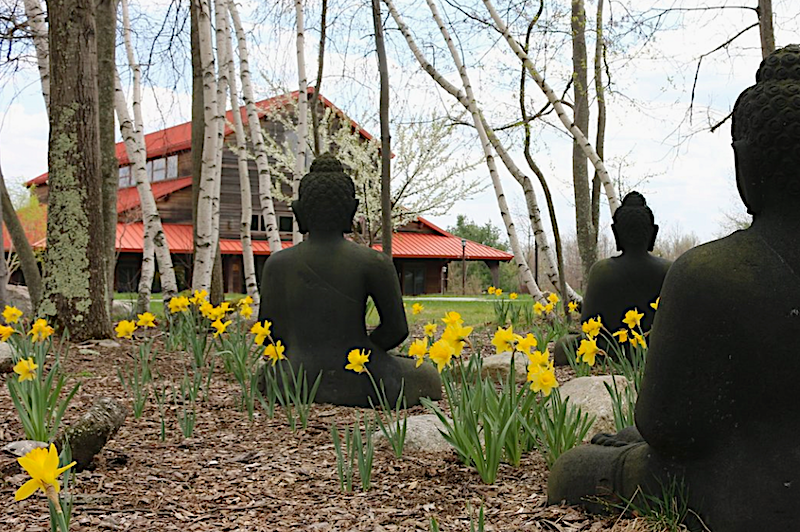
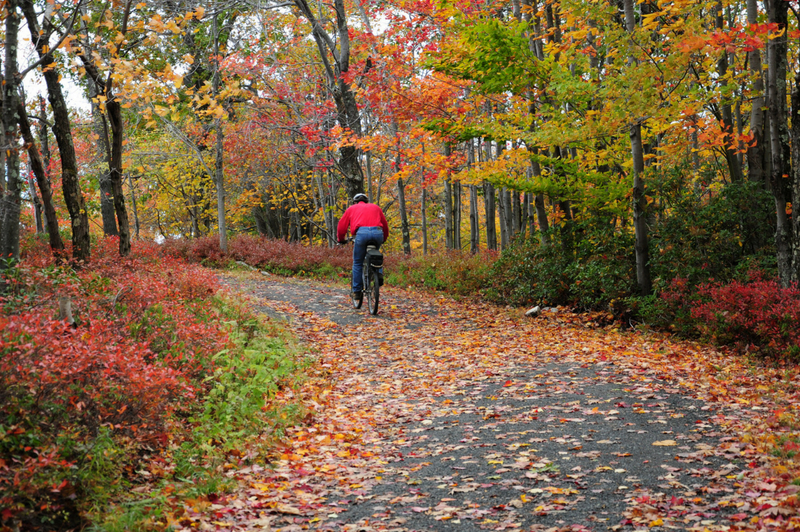
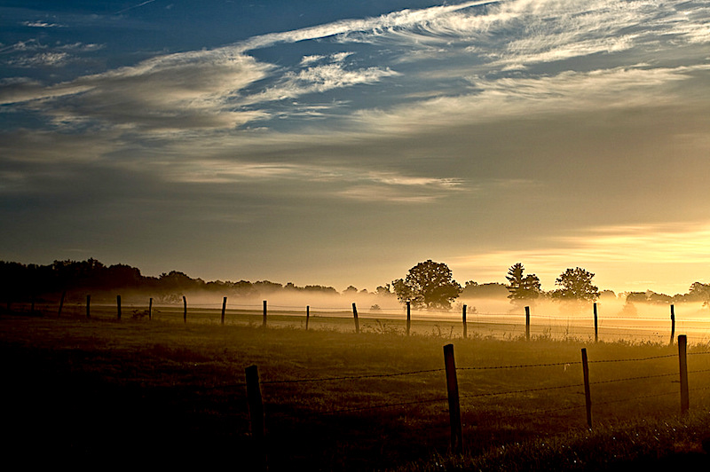
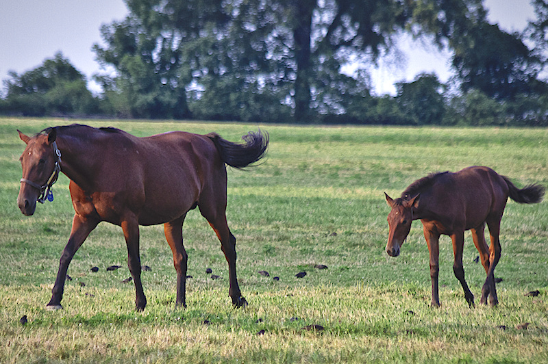
Photos (L-R): Blue Cliff Monastery | Castle Point Trail | Pine Bush Field – Steve Brooks | Blue Chip Farms – Steve Brooks
<< Shandaken
Ulster >>